Advancements in Drone Applications for Forest Monitoring
Why Drones Are Forestry’s Rock Stars
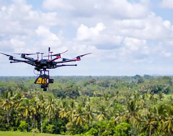
Drone applications are shaking up forest monitoring like nobody’s business. These zippy unmanned aerial vehicles (UAVs) swoop into remote, gnarly woods with barely a peep, making them a total win for eco-heroes. They’re the backbone of sustainable forestry, tackling mapping, spying, and tree-counting with zero fuss. Drones crush old-school methods by snagging quick, sharp data without breaking a sweat.
Ditching Old-School for Sky-High Swagger
Back in the day, forest monitoring meant trudging through dirt with GPS gadgets and scribbled notes or waiting forever for satellite snaps. Total snooze-fest. Drone applications zip in, grabbing high-res pics and live data in one fast flight. With LiDAR sensors, they slice through thick canopies to map terrain like pros, turning boring charts into vibrant, real-time forest vibes.
Why Drone Applications Are the Bomb
Conquering Crazy Terrains
Drones tackle wild landscapes where humans can’t hack it. Steep cliffs? Tangled vines? No biggie. They soar over sketchy spots, keeping foresters out of harm’s way.
Data Grabs at Lightning Speed
What took weeks now takes hours. Drone applications scoop data faster than you can blink, letting managers pounce on problems before they blow up.
Easy on the Wallet
Say goodbye to pricey planes or huge crews. Drones keep costs low while delivering top-tier results, making them a budget superhero for forest monitoring.
Planet-Friendly Vibes
Unlike gas-hogging choppers, drones tread super light. Their tiny eco-footprint keeps forests chill during surveys.
Upping the Game with Sky Surveillance
Razor-Sharp Pics and 3D Maps
Today’s drones pack killer cameras, snapping crystal-clear photos and videos. These create 3D models with photogrammetry, nailing tree heights, canopy thickness, and terrain curves with wild precision. Thermal cameras catch sneaky heat shifts, spotting sick or parched trees early.
Live Forest Health Checkups
Drone applications shine with instant data drops. They track deforestation, fires, or sketchy logging on the spot, letting foresters jump on issues pronto. This quick scoop saves ecosystems from total chaos.
Hooking Up with GIS and Remote Tech
Drone data vibes with Geographic Information Systems (GIS) and remote sensing. Mix it with soil or water maps for a full forest breakdown. Pairing drone shots with satellite data amps up planning for replanting or wildlife protection.
Making Forest Work a Breeze
Auto-Pilot Cuts the Grind
Drones fly set paths, covering massive areas without a human driver. This slashes boots-on-the-ground work while keeping data tight across missions. AI-powered drones even scan images mid-flight, picking out tree types or disease signs on the fly.
Tracking Seasonal Swings
Forests shift with seasons. Scheduled drone flights—daily, monthly, or yearly—capture trends like carbon storage or invasive species creep, giving foresters the big picture over time.
Fast Calls, No Hassle
Drones churn data quick, speeding up decisions from field crews to bigwigs. Live dashboards flash threats like wildfires or illegal cuts, sparking fast moves to save the day.
Awesome Ways Drone Applications Protect Forests
Counting Trees and Weighing Biomass
Drones ace forest inventories, tallying trees, heights, canopy cover, and biomass without stepping on a twig. These stats keep timber sustainable while balancing ecosystems.
Catching Trouble Early
Thermal sensors spot heat spikes signaling pests or baby fires before they turn into disasters. Drone applications give foresters a heads-up to act fast, especially when it’s dry as a bone.
Busting Shady Logging
Illegal deforestation kills biodiversity. Drones with GPS-tagged cameras snap timestamped proof, helping cops nail rogue loggers. Regular flights keep land-use rules in check.
Battery Tech: The Juice Behind Drones
Why Battery Life Is Everything
Long battery life means more sky time, key for massive forest surveys. Fewer recharge stops boost mission flow, letting drones cover huge woods without a hitch.
High-Power Batteries for Epic Flights
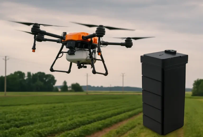
High-energy-density batteries—like 270wh/kg, 320wh/kg, or 340wh/kg—let drones haul heavy gear like LiDAR without cutting flights short. Models like SY-6S-21.6V-39Ah (306wh/kg, 1000-cycle life) deliver steady juice for remote missions where chargers are a myth.
Custom Juice for Forest Needs
Every forest job’s different—altitude, sensor weight, or weather call for tailored power. Taixing Shengya Electronic Technology Co., Ltd’s customization service tweaks plug types, output lines, and voltages (6S–14S) to keep drones buzzing in any scene.
Frequently Asked Questions (FAQs)
- What are the top drone applications in forestry?
Mapping, fire spotting, pest tracking, biomass measuring, and catching illegal loggers—all sharper and faster than old ways. - How do drones level up forest health monitoring?
High-res pics and thermal sensors catch early disease or canopy thinning, keeping trees thriving. - Why does battery tech matter for forestry drones?
Longer-lasting batteries stretch flight times, critical for covering big forests without pauses. - Can drones beat satellite imagery for forest analysis?
Not totally, but their high-res, low-altitude shots shine for detailed surveys satellites can’t touch. - Are there legal limits on forest drone use?
Yup, airspace rules differ by country. Permits might be needed for protected lands or specific jobs.
Wanna supercharge your forest monitoring? Hit up Taixing Shengya Electronic Technology Co., Ltd for battery solutions that keep drones soaring in tough terrains.


