The Evolution of Aerial Photography
From Traditional Methods to Drone Technology
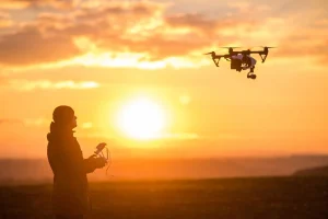
Aerial photography has changed greatly over time. In the past, it used balloons, kites, or planes to take images from above. These methods were groundbreaking then. Yet, they had limits. They were costly. They were hard to access. They raised safety concerns. Drone technology transformed this field. It made aerial imaging easier and more flexible.
Drones are now key tools in photography. They fly at different heights with precision. They capture high-quality images and videos. These come from angles once impossible. This shift from old methods to drones marks a major change. It allows more creativity. It adds new uses for aerial views.
How Drones Changed Aerial Imaging
Drones brought new abilities to photography. They carry advanced cameras. They have stabilization tech and GPS. These give precise control. They ensure accuracy. This has made aerial imaging open to all. Hobbyists and experts alike explore new creative paths.
Drones do more than take beautiful pictures. They serve practical needs across industries. They help in real estate and environmental checks. They perform detailed aerial surveys. Their small size and agility shine. They work in places where old methods wouldn’t. They make tasks simpler.
Benefits of Using Drones in Aerial Photography
Access to Tough Locations
Drones reach difficult or risky spots safely. They navigate dense forests. They hover over rough terrain. They capture images without endangering people. As an unmanned aerial vehicle operated by radio remote control and self-contained program control device, a drone accesses hard-to-reach areas.
For example, drones with thermal cameras aid search-and-rescue. They deliver real-time visuals. They help find people in remote places. This shows their value beyond fun.
Cost Savings Over Traditional Methods
Old aerial photography needed planes or helicopters. These were expensive. Drones are cheaper. They deliver high quality. Their low cost suits small businesses. Independent photographers benefit too. They don’t need big budgets.
Drone operations cost less than manned flights. Fuel and crew expenses vanish. This makes drones ideal for short or long projects. They save money without losing quality.
Real-Time Image and Video Capture
Drones provide live imagery and video. This is key in fast-changing situations. Live events or emergencies benefit most. Real-time transmission of incident scene images and video gives a full view from above. It aids quick decisions.
This feature helps industries like farming and building. Farmers check crops instantly. Builders monitor sites remotely. Real-time data streamlines work. It boosts efficiency.
Key Features of Drones for Aerial Photography
High-Resolution Camera Systems
Modern drones have top-notch cameras. They capture fine details from high up. They offer zoom, wide-angle lenses, and 4K video. These ensure great image quality.
Such cameras meet professional needs. They let hobbyists experiment freely. From landscapes to ads, these systems set a high standard for photos.
Stabilization and Gimbal Technology
Stable footage needs good tech. Drones use gimbal systems. These counter vibrations and wind. They keep images sharp. Videos stay smooth in tough conditions.
Gimbals ensure pro-level results. They eliminate blur or shake. They improve project quality across many uses.
Advanced Flight Controls and GPS
Drones have precise navigation. Advanced controls and GPS make this possible. Waypoint programming sets flight paths. It ensures steady coverage of areas.
GPS enables autonomous modes. Follow-me tracking or orbiting a point suits dynamic shots. These make drones easy to use. They expand creative options.
Applications of Drone-Based Aerial Photography
Landscape and Nature Photography
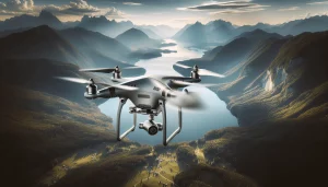
Drones reshape how we capture nature. They fly at varied heights. They offer unique views. They reach remote forests, mountains, or deserts safely. High-resolution cameras catch every detail. They’re vital for landscape lovers.
Drones aid wildlife photography too. Their quiet flight avoids disturbing animals. Photographers capture natural behavior safely. This supports conservation and education.
Urban Planning and Infrastructure Monitoring
Urban planners use drones for efficiency. Engineers rely on them too. Drones with advanced imaging capture city views. They survey construction sites and roads. These images guide development. They check structural health. They spot issues early.
Real-time transmission of incident scene images and video helps in crises. Drones survey flood or quake zones fast. They provide key data for rescues.
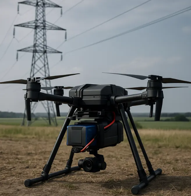
Drones inspect bridges, power lines, and pipelines. They reach risky spots. This cuts costs. It keeps human inspectors safe.
Film Production and Advertising
Drones transform film and ads. They give filmmakers freedom. They capture sweeping or tracking shots. These once needed costly cranes or helicopters. Drones make visions real.
In ads, drones create striking visuals. They showcase properties or tourism spots. Their footage adds a modern touch. Their low cost and flexibility suit small businesses. They boost brand appeal.
Challenges and Considerations in Drone Aerial Photography
Regulatory Compliance and Legal Issues
Drone photography faces legal hurdles. Countries have different rules. These cover flight heights and no-fly zones. Airports and government sites often restrict drones. Pilots may need certifications. Operators must know these laws. This avoids fines or legal trouble.
Privacy is a concern too. Filming over private land without permission raises issues. It can spark disputes. Operators must respect boundaries. They must act ethically.
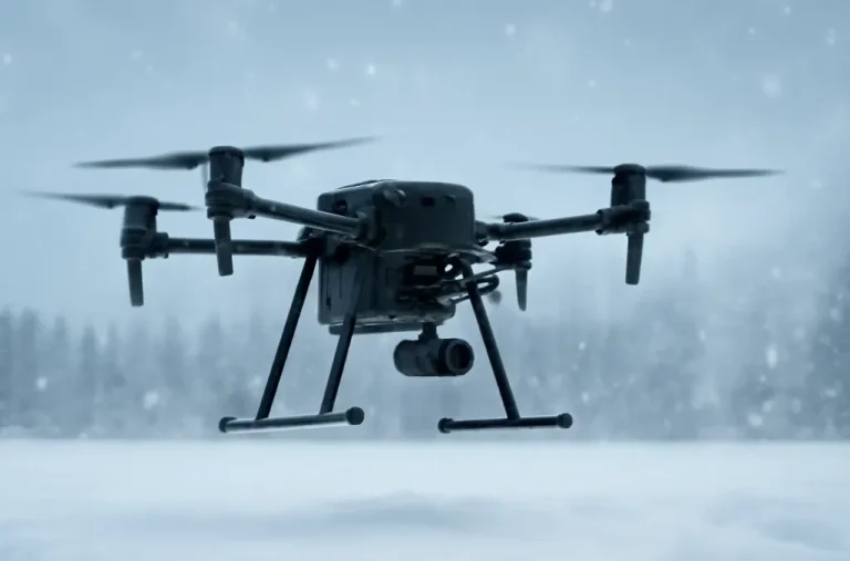
Weather’s Impact on Drone Performance
Weather affects drone flights. Strong winds or rain disrupt stability. They harm camera quality. Extreme temperatures pose risks too. Many drones handle moderate conditions. Yet, extreme weather should be avoided.
Fog or clouds reduce visibility. This blurs images. Operators must check forecasts. Planning flights carefully is key.
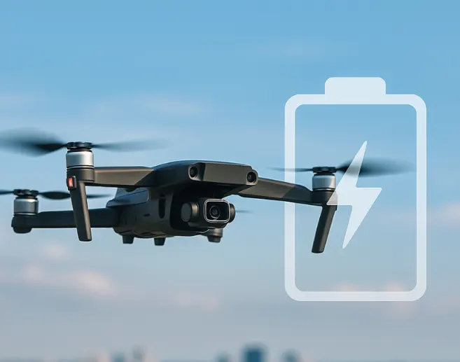
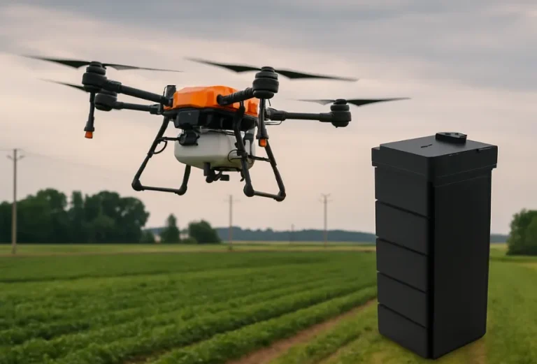
Managing Power for Long Projects
Battery life limits drones. High-energy-density batteries from Taixing Shengya Electronic Technology Co., Ltd. improve flight time. Yet, power management is tricky for long shoots.
Operators plan flights to save battery. They ensure power for safe landings. Spare batteries or portable chargers help. These support extended projects.
FAQs about Aerial Photography by Drone
What are the main uses of drone photography?
Drones serve landscape photography and urban planning. They monitor infrastructure. They aid film production and ads. They support wildlife conservation.
What challenges do drone operators face?
They deal with legal rules. Weather affects performance. Battery life limits long shoots.
How do drones help urban planning?
They provide detailed aerial views. These guide development. They spot infrastructure issues.
Are drones good for filmmaking?
Yes. High-resolution cameras offer dynamic shots. They cost less than traditional gear.
Can drone batteries handle long flights?
Yes. High-energy-density batteries boost endurance. They support longer operations.